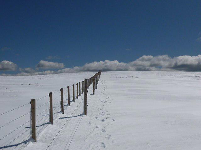
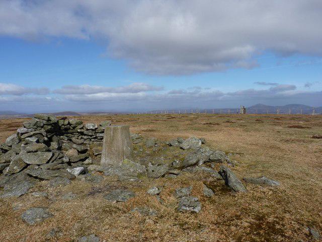
Ben Tirran [The Goet]

Ben Tirran [The Goet]

Ben Tirran [The Goet] Group Walks | Join a Walk

897m Elevation
246m Prominence
Scotland Country

Join group walks, find walking companions and friends, or organise your own!

Classifications

Marilyn Corbett Sim High Hill of Britain

Looking for walking companions?

Don't walk alone! Find friendly walkers to explore Ben Tirran [The Goet] together. Join scheduled group walks or start your own.

Elevation

897m

2,943 ft

Prominence

246m

Coordinates

56.8587, -3.0292

NO373746

OS Map

44

Explorer: OL53S 388S

At the Summit

The summit features a prominent cairn and a trig point which offers a perfect spot for a selfie — proof that you conquered the Goet!

Terrain & Geology

Rocky and grassy with sections of heather and occasional boggy patches.

Ben Tirran is primarily composed of ancient volcanic rock with some striking features that hint at its fiery past. Its rugged terrain showcases stunning examples of erosion and glacial activity, making it a treat for geology enthusiasts.

Views & Scenery

From the summit, enjoy panoramic views encompassing the Mounth and Cairngorms, with the picturesque Loch Lee visible on a clear day.

History & Heritage

Name Origin

The name 'Ben Tirran' combines 'Ben' meaning mountain in Gaelic, and 'Tirran', possibly derived from local Gaelic terms relating to 'place' or 'earth'.

Historical Significance

Ben Tirran is a classic Munro, loved by local hikers and part of the cultural fabric of the region, connecting outdoor enthusiasts to Scotland's wild landscapes.

Popular Routes

Cairn o' Mount to Ben Tirran

Moderate

A popular route starting from the Cairn o' Mount which provides stunning views and a clear path to the summit.

10.5 km 4.5 hours

Glen Clova Approach

Moderate to Challenging

A scenic route through Glen Clova, winding past beautiful glens and mountains, leading to Ben Tirran's summit.

12 km 5 hours

Getting There & Facilities

Parking

Cairn o' Mount car park (grid reference NO 400 790) offers ample space for vehicles.

Public Transport

Public transport options are limited; consider the bus services to nearby towns and then a taxi or cycling to the parking area.

Nearby Facilities

There are no facilities directly on the route, but Edzell has cafes and toilets available for a pre-hike pit stop.

Safety Information

Known Hazards

  • Variable weather conditions can change rapidly; ensure you carry appropriate gear. Visibility can diminish in mist, and certain trails may be boggy or rocky underfoot.

General Safety Tips

  • Check weather conditions before setting out
  • Carry appropriate clothing and equipment
  • Let someone know your planned route
  • Take a map, compass, and GPS device
  • Carry emergency supplies: food, water, first aid kit, torch

Find Walking Companions

Join friendly walkers exploring Ben Tirran [The Goet] and surrounding area

Can't find a walk? Organise your own!

Create a walk and let others join you. It's free and easy!

Hills

Some common questions about the hills answered

Are there group walks up Ben Tirran [The Goet]?

Many walkers use Walkmates to join or organise walks with others. You can check for group walks around Ben Tirran [The Goet] through the maps

Are there other walkers around Ben Tirran [The Goet]?

Activity varies by location and time, but Walkmates lets you see whether others have shared walks or shown interest in this area. Find other people through the walking friends search walking friends for Ben Tirran [The Goet] search or of course create your own walk for Ben Tirran [The Goet]

Can I organise a walk to Ben Tirran [The Goet]?

Yes. If there aren’t any walks listed already, you can create a walk and make it available for others to join.

If you're signed up to Walkmates, you can create a walk to Ben Tirran [The Goet].

How do I find a walk up this hill?

There are often multiple ways to walk this hill, depending on experience and route preference. Walkmates helps you explore walks and routes that others have shared.

Can I suggest a new route up Ben Tirran [The Goet]?

Yes. You can suggest or create routes to share with others. Walkmates focuses on the social side of walking, so routes are used to help people organise walks and explore areas together, rather than as detailed navigation tools or route libraries.

Other uses really appreciate knowledgeable walkers sharing their routes. Share your favourite route to Ben Tirran [The Goet] here

The is an error or something incorrect about this hill. How do I let you know?

We always strive to keep the information on Walkmates as accurate as possible. If you find an error, please let us know through the contact form and we'll aim to correct it as quickly as possible